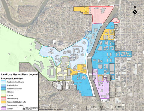
The Land Use Plan organizes campus property into functional uses that inform and guide the institution on future development decisions and projects. If a parcel includes various building types and/or functions, the land use is depicted as its predominant use. For instance, a parcel may be identified as residential but also include parking.
The Land Use Plan not only guides the Institution on how existing land should best be used, it also identifies strategic assets and shared land uses that are instrumental in advancing the University mission.
Goals and Objectives
- Identify areas adjacent to and near the University campus for potential land acquisitions for long term growth.
- Acquire specific properties on Clinton Street between Jefferson Street and Church Street for future University growth.
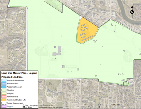
- Identify areas of undeveloped University land, including the Oakdale campus, that have more potential long-term benefits to the University. When possible, acquire lands being sold or leased to third parties for housing or commercial development.
- Lease all remaining shovel-ready lots at the UI Research Park to private third parties for new office building development.
- Identify areas in and around the UI Research Park for innovative housing opportunities for people working at the Research Park and work with third-party developers on housing opportunities.
- Work with Iowa City and the Iowa City Downtown District on enhanced integrated way-finding signage and gateway features on University property and City right-of-ways.
- Acquire right-of-way easements from private landowners on the east side of the Iowa River to complete the north/south sidewalk trail from the Hancher footbridge to Park Road.
- Work with local landowners and developers to identify areas of public and private investment along main gateways into the University campus to better enhance the overall campus setting.
- Prioritize land uses that promote the highest and best use by high-priority programs. Support and service programs should be located at the perimeters, or off-campus when possible.
Strategies
Create a series of land use zones that address the goals and organize the campus into well-defined neighborhoods.
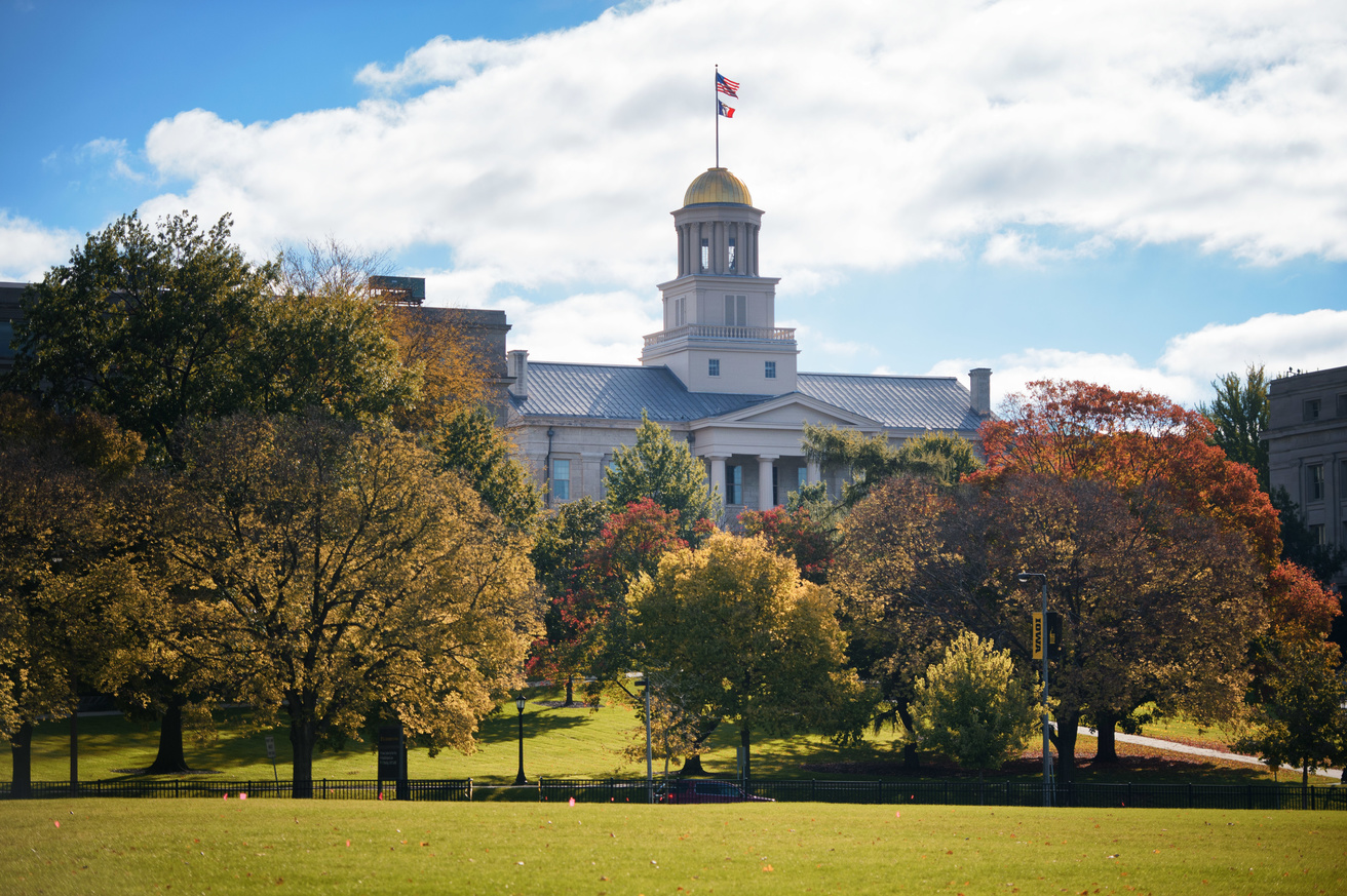
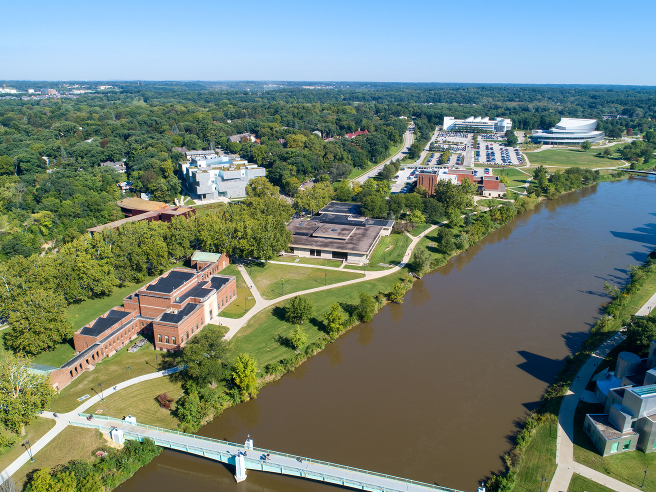
- Academic Zone – This parcel is primarily dominated by teaching facilities but may include academic support such as the library, student union, and museum. This parcel can be subdivided into neighborhoods of academic concentration such as General, Health Care, and the Arts.
- General – primarily undergraduate, but inclusive of some post-graduate programs including the College of Law.
- Healthcare – academic and research programs related to health care comprised of the Carver College of Medicine, dentistry, nursing, pharmacy, and public health.
- Arts – academic concentration on performing and visual arts.
- Outreach Zone – This parcel is predominantly related to administration, advancement, and business enterprises.
- Athletics Zone – Includes facilities and/or playfields whose primary function is to support intercollegiate athletics.
- Shared Land Use Zone – Includes lands not currently owned by the University. These lands can foster the advancement of the University's mission.
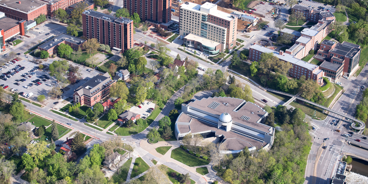
- Healthcare Zone – This parcel is primarily healthcare services consisting of the main academic medical center, specialty healthcare facilities, and other graduate and professional programs.
- Residential Zone – Areas dominated by housing, dining, and recreational facilities for university-enrolled students. The Residential Zone may also include faculty and staff housing in specific parcels.
- Support Zone – Land parcels that consist of University maintenance and operational functions (power plant, landscape services, water plant, etc.).